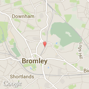
Ciudades próximas
- Downham ~2 km
- Shortlands ~2 km
- Grove Park ~3 km
- Mottingham and Chislehurst North ~3 km
- Middle Park and Sutcliffe ~4 km
- Hayes ~4 km
- Lewisham ~4 km
- Whitefoot ~4 km
- Lee Green ~4 km
El transporte en Bromley
- Aeropuertos internacionales
-
City ~11 km
Gatwick ~33 km
- Otros medios de transporte
-
Biggin Hill ~9 km
London Victoria Bus Station ~15 km
London St Pancras ~17 km
St Pancras Railway Station ~17 km
London Euston Railway Station ~17 km