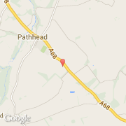
Localidad de Pathhead (Scotland)
Informations
Cifras
- Código del país :
- GB
- Código postal :
- EH37
- Latitud :
- 55.86019
- Longitud :
- -2.95887
- Huso horario :
- Europe/London
- Universal Time :
- UTC
- Horario de verano :
- Y
La localidad de Pathhead pertenece (de mayor a menor) a la nación Scotland y al condado Midlothian.
©photo-libre.fr