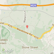
Localidad de Seal Chart (England)
Informations
Cifras
- Código del país :
- GB
- Código postal :
- TN15
- Latitud :
- 51.28400
- Longitud :
- 0.25170
- Huso horario :
- Europe/London
- Universal Time :
- UTC
- Horario de verano :
- Y
Informations
Cifras
Ciudades próximas
El transporte en Seal Chart
Informations
Cifras
Ciudades próximas
El transporte en Seal Chart