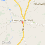
Localidad de Stow on the Wold (England)
Informations
Cifras
- Código del país :
- GB
- Código postal :
- GL54
- Latitud :
- 51.92829
- Longitud :
- -1.72666
- Huso horario :
- Europe/London
- Universal Time :
- UTC
- Horario de verano :
- Y
La localidad de Stow on the Wold pertenece (de mayor a menor) a la nación England, al condado Gloucestershire y al distrito Cotswold.
©photo-libre.fr