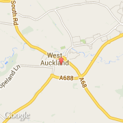
Localidad de West Auckland (England)
Informations
Cifras
- Código del país :
- GB
- Código postal :
- DL14
- Latitud :
- 54.62930
- Longitud :
- -1.72152
- Huso horario :
- Europe/London
- Universal Time :
- UTC
- Horario de verano :
- Y
Informations
Cifras
Ciudades próximas
El transporte en West Auckland
Informations
Cifras
Ciudades próximas
El transporte en West Auckland